We offer trail users a unique combination of trails throughout downtown areas, agricultural land, parks, and former railway right of ways.
The North Perth Trail System is approximately 22 km long. You can experience the trails in all four seasons on foot or by cycling, horseback riding, skiing, snowshoeing or snowmobiling. Trails stretch from Gowanstown to Listowel (currently under construction) and from Listowel to Henfryn.
Click here for driving directions.
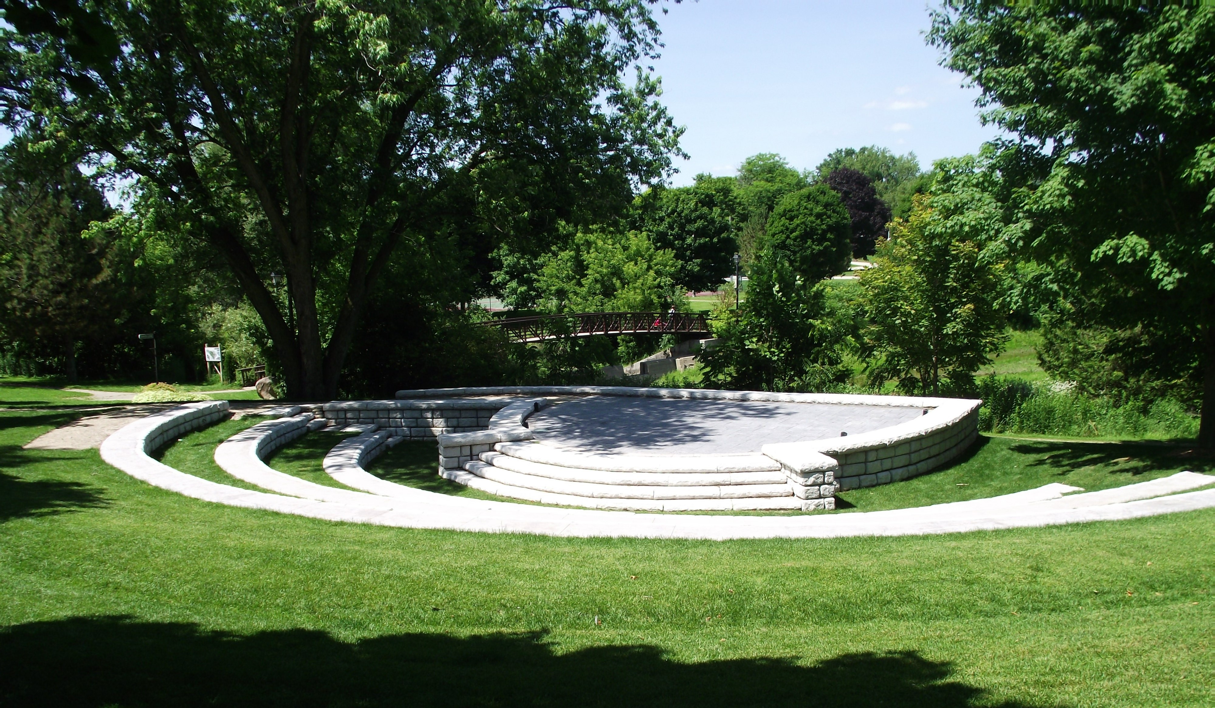
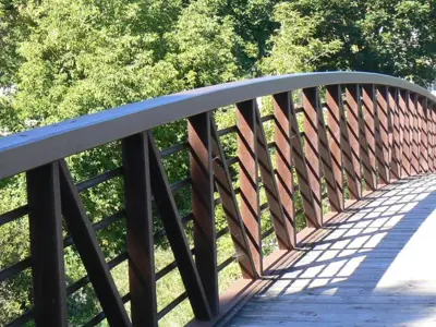
Our trail system also features the Rotary Walkway in Listowel Memorial Park. The Rotary Walkway is a complete loop around the Maitland River in Listowel Memorial Park. The walkway is fully accessible (concrete with a few stone dust areas) and lighted.
Trail users are asked to pick up after their animals (i.e. dogs, horses).
- Trails going through Listowel, Gowanstown, Atwood and Henfryn with multiple entrances
- Views: Farm Land, Rivers, Forests, Urban Views
- Special Features: Picnic Tables, Benches, Near Downtowns, Stroller Friendly
Hike and Bike Digital Trail Map: Perth County has launched a digital map of trails throughout the region. View the Hike and Bike Digital Trail Map to plan your next adventure!
Visit the Perth County Cycle page featuring Signature Cycle Routes maps.
G2G Rail Trail: The Guelph to Goderich (G2G) Rail Trail also travels through the Village of Monkton in North Perth. This section of the trail is known as the Perth Harvest Pathway.


